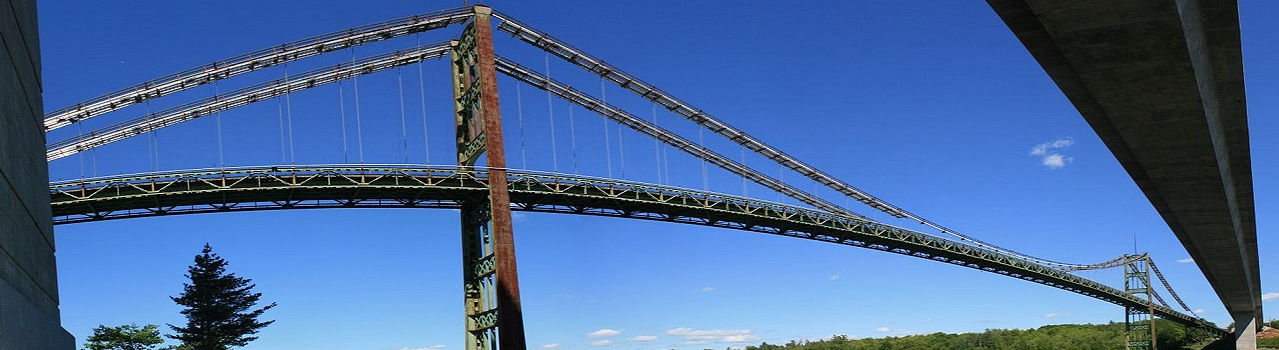

3D Laser scanning services & As-Buit Surveys
We rebuild the geometry of elements and infrastructures using 3D laser scanner technology
Scan to ArchiCAD services
ArchiCAD is a BIM and CAD architectural program from Graphisoft. Those familiar with the program know how useful ArchiCAD is when it comes to dealing with the aesthetic and technical aspects of the building design process. Architecture firms around the world are convinced that instead of spending money on the slow and expensive method of manual measurement, it is cheaper, more reliable and definitely faster to create models of point clouds obtained by laser scanning.
Scanphase collaborates with Architecture and Engineering studies around the world (Spain, France, Italy, Belgium, Malta, Turkey, Germany, Switzerland, Portugal, Greece and others) based on our experience we offer our Scan to BIM services and enriched model generation using Graphisoft Archicad.
The development of ArchiCAD and point clouds has not stopped in recent years. Great strides have been made in the field of BIM performance. With ArchiCAD you can work easily, efficiently and quickly on all types of architectural BIM models, from design to implementation. ArchiCAD's performance is unique. Waiting for large and complex views to load is a thing of the past, because ArchiCAD now has 'predictive background processing' that anticipates user actions. ArchiCAD offers the fastest responsiveness, especially with the most complex models. Because of this, it is possible to work with a point cloud in ArchiCAD.
Point cloud scans converted to ArchiCAD BIM models provide enhanced visualization with detailed analysis. Extraction of accurate and detailed construction documents and as-built drawings from the models offer greater project clarity, enhance collaboration and save on cost and time.
Scan to ArchiCAD
-
With ArchiCAD's very fast response time it is possible to import point clouds. Although the import capacity is tied to the size of the point cloud files, the program supports reading multiple point cloud files in a project. ArchiCAD supports the E57 universal file format, including color information. It also supports other formats like XYZ.
-
ArchiCAD reads the point cloud files and translates it to a library item. Library items in ArchiCAD have a maximum size (per item). It is advisable not to make point clouds larger than 2 to 3 GB.
-
ArchiCAD will automatically display more or fewer scan points when zooming in and out. This allows the user to see, for example, the entire scan or to see only one plant of the scan. All scan points can be adjusted in all views of the model (plan, elevation, 3D section, etc.).
Point cloud debugging
Trim functions are fully integrated into ArchiCAD. Being part of the usual ArchiCAD process and workflow without the need to use other additional software.
-
It is possible to model BIM directly from point clouds since it has all the cutting functionalities: floor plans, cross sections, facades or the 3D window, both in axonometry and in perspective.
-
To go from point cloud to model, ArchiCAD's Snap functionality offers the ability to configure it quickly and easily. Being able to refer to any point within the point cloud in ArchiCAD.
Benefits of Scan to ArchiCAD
Measurement with laser scanners and the resulting laser scan data has many advantages over data obtained with traditional measurement methods. The big advantage compared to traditional surveying is that the entire building can be captured in a 3D point cloud and therefore accurate measurements of everything that has been scanned with the laser scanner are available. The biggest advantages of point clouds are:
-
The point cloud immediately forms a 3D model (albeit from measurement points) that cannot be misinterpreted.
-
The laser scanner keeps the complete information. It is not necessary to return to the location of the building or installation.
-
The scanner records the size and color image, so the point cloud can also serve as documentation and evidence.
-
The point cloud can be measured.
-
Modeling work can be done more easily when working with a point cloud.
-
The point cloud can be used directly as in the Graphisoft ArchiCAD design program (although it can also be used for AutoCAD or Autodesk Revit) to configure a 2D or 3D drawing or for post-processing of drawings.
-
Generating additional cross-sections is very easy with a point cloud. A cut is simply made in a different place in the point cloud.
-
The point cloud is the basis for the facade restoration plans and orthographic photographs.
ArchiCAD in Scan to BIM
Graphisoft ArchiCAD can be used by both architects and engineers to plan the aesthetics and technical aspects of a construction project. However, architects prefer it for their projects because the elements can be easily customized for architectural needs. For example, a composite wall has many layers with different settings like thickness, materials, etc. As the software was developed to accommodate different configurations, it makes things easier for architects. Our BIM modelers are equipped with the knowledge to help architects generate the architectural model. They can also create the renderings that architects need, which is suitable for presentation purposes due to its sharp, clear and fine images.
Advantages of using ArchiCAD for BIM
One of the key benefits of adopting ArchiCAD is its ability to allow easy collaboration between different disciplines through the use of BIMcloud. BIMcloud enables real-time collaboration between project team members from various disciplines, regardless of the size or complexity of the project. When assigned to a project, our group of BIM modelers will be able to work on the same BIM model at the same time without the need to divide different sections of the development into many parts.
In addition, it also facilitates better collaboration with contractors, as our BIM modelers will be able to export ArchiCAD models to a BIMx file format. BIMx can be opened with an IOS or Android smartphone or tablet. This makes the outlet easily accessible when contractors or architects need to review the model on site. They will only need to apply the normal operations of the phone or tablet, such as zoom in and out with two fingers, scroll views with one finger. Creating section views in models is also a simple process. A palette on the side of the interface includes buttons for the operator to turn items on and off they want to view.
Point cloud scans correctly depict all structures, spatial layout of elements, and as-built conditions to enable detection and diagnosis of every issue. With ArchiCAD models reconstructed from point cloud data, architects and surveyors can easily resolve design clashes to ensure the sanctity of earlier architecture and project needs. But converting laser scan data to 3D models has its own challenges regarding the use of technology. Using specialized point cloud scan to BIM services ensures accuracy, data compatibility, and compliance.

Point cloud with laser scanning - Scan to ArchiCAD

Point cloud imported into ArchiCAD

Definitive model Scan to ArchiCAD
Point clouds in BIMcollab ZOOM
BIMcollab Zoom is an IFC viewer with point cloud functionality that allows for viewing and comparing an IFC model alongside a point cloud, both in the same coordinate system.
-
BIM issue tracking in the cloud: BIMcollab Cloud is a collaborative issue tracking platform for BIM, built around widely accepted IFC and BCF standards. BCF issues contain all relevant information to facilitate communication about BIM models. BIMcollab Cloud simplifies issue management and provides a structured way to store, share, and resolve issues, including a reliable tracking history in any BIM development process.
-
Visualize and validate IFC models: BIMcollab ZOOM offers fully integrated IFC model visualization and validation within the BIMcollab workflow. ZOOM is the ideal tool for discussing issues during issue review sessions. ZOOM helps analyze data to identify design imperfections and verify solutions. It provides fast, intuitive, and convenient navigation, even in large models. Now with collision detection!
-
Integration of BIMcollab Cloud with various BIM tools: BIMcollab Cloud is connected to popular BIM tools such as Graphisoft ArchiCAD, Autodesk Revit, Navisworks, Solibri, and Tekla Structures through integrated BCF Managers. These managers can be used to import and export BCF files. They allow for the creation and sharing of issues with the team, regardless of whether they are using the same BIM tools. Model validation, collision detection, or validation software; issue searching, solution review, and feedback generation for resolution within BIM modeling tools can all be seamlessly facilitated.

Point cloud with laser scanning - Scan to ArchiCAD

Final Model - Scan to BIM - Scan to ArchiCAD
Conclusions:
Scan to BIM - ArchiCAD is the process in which data is taken from an existing construction study. The data is then translated into a building information model. Currently, the best and most comprehensive way to achieve this is through laser scanning. A laser scan will provide site data in the form of point cloud data which is an array of 3D points, each of which is assigned X, Y, Z coordinates and RGB color values (red, green, blue ). It is clear that a third type of value, intensity, is also used to represent the grayscale spectrum. In some cases, the color is simply discarded: the 3D information and intensity values are sufficient to distinguish between points for modeling. All of these points together generate what is known as point cloud data.
From our experience, creating a BIM model in ArchiCAD from a point cloud will save time, effort and money in the long run on a project. This model will allow you to explore concepts and designs with clarity and confidence.
Based on our experience we offer our BIM scanning services to architects, surveyors and designers. As designers, we understand how the BIM model will develop and evolve throughout the project.
Our working procedure for providing an ArchiCAD BIM model of the building from point cloud data:
-
Requirements capture to understand what you are looking to achieve with a BIM model.
-
Preparation of work proposal and detailed fixed price quote
-
We will also provide you with a schedule for the delivery of your ArchiCAD model.


